# Reflectometry
Earth reflected GNSS signals are computed based on a specular point determined via a reference ellipsoid (WGS84) or digital surface model (DSM) (see Specular Point Computation for a detailed description of the algorithm).
In principle, a reflected signal has the following characteristics (in comparison to LOS signals):
- longer signal runtime between satellite and receiver compared to direct path
- additional atmospheric delays and attenuation
- additional signal attenuation due to surface reflection
- received signals are normally below 0° elevation (proper antenna attitude and gain pattern beneficial)
Note
Due to the fact that a signal reflection changes the polarization, only LHCP antennas are able to receive earth reflected signals (see LHCP Antenna).
# General Reflectometry Options
The Reflectometry settings cover the following options:
| Parameter | Description |
|---|---|
| Selected Receiver ID | Currently selected receiver. |
| Compute earth reflected signals | If enabled, reflected signals are computed via a specular point. |
| Reflection Model | If signal reflection is enabled, the reflection model can be choosen (Ellipsoid vs. DEM/DSM) |
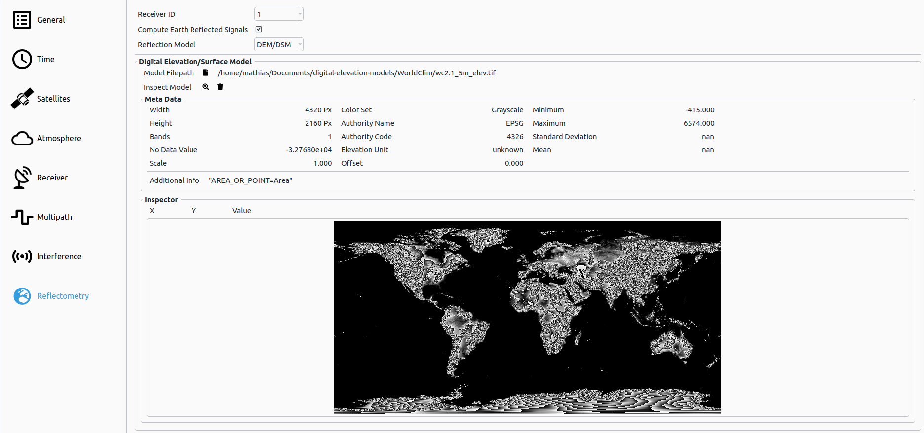
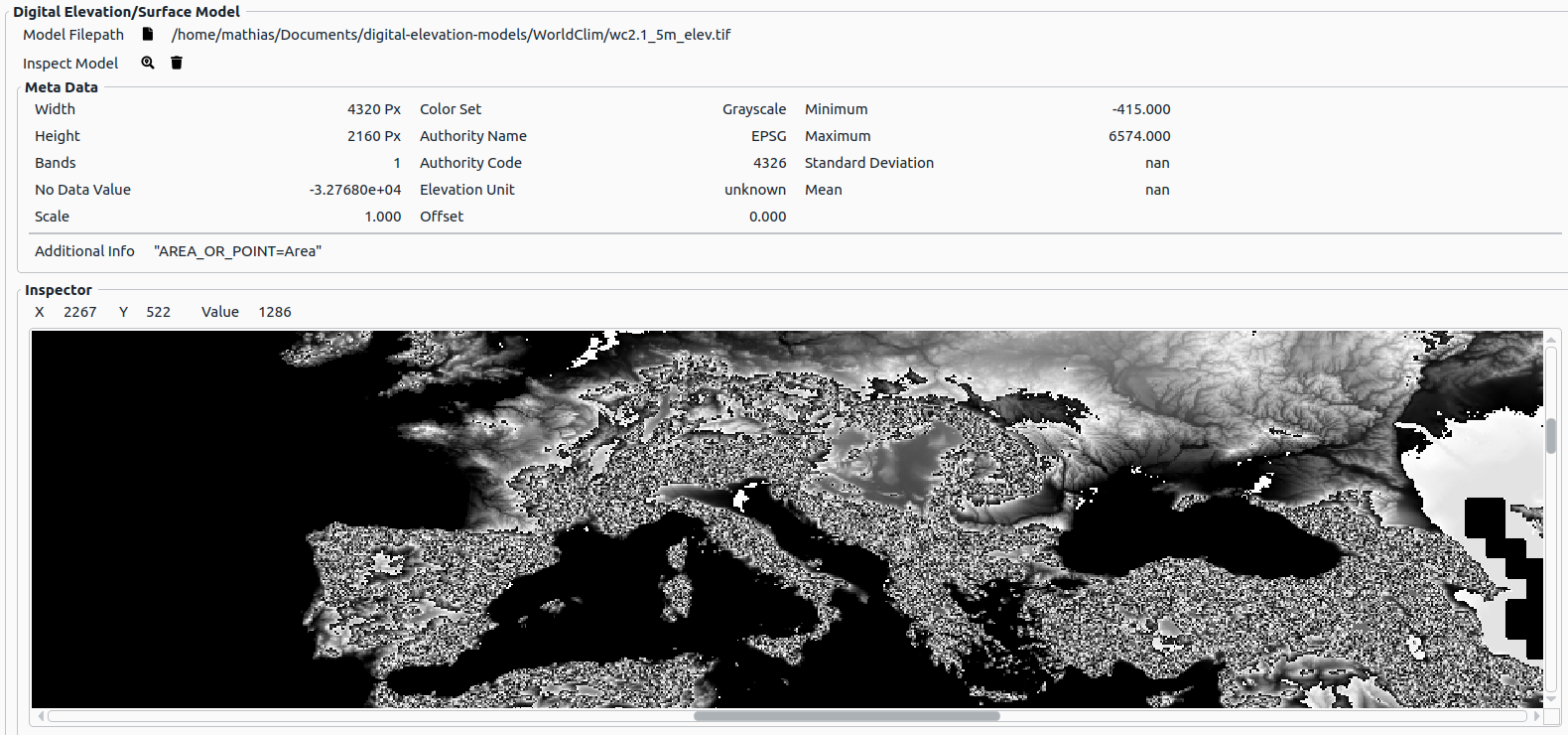
# Digital Elevation/Surface Model
In case DEM/DSM is choosen as reflection model, the user can load a corresponding model by clicking on  . The following file types are supported:
*.tif, *.tiff*.geotif, *.geotiff
By clicking on  , the user can inspect the digital elevation/surface model file, where the following information is provided:
- Meta data: the most relevant data of the model (e.g. dimension, number of bands, reference system, etc.)
- Inspector: a graphic view with pan and zoom support, where the current DSM value is queried via the mouse cursor's current position
By clicking on  the loaded model can be cleared again.
Note
In case the transformed input raster coordinates are outside the defined DEM/DSM area, an orthometric height value of 0 meters is used.
Note
In case no height value is present for the transformated input raster coordinates within the defined DEM/DSM area, an orthometric height value of 0 meters is used.